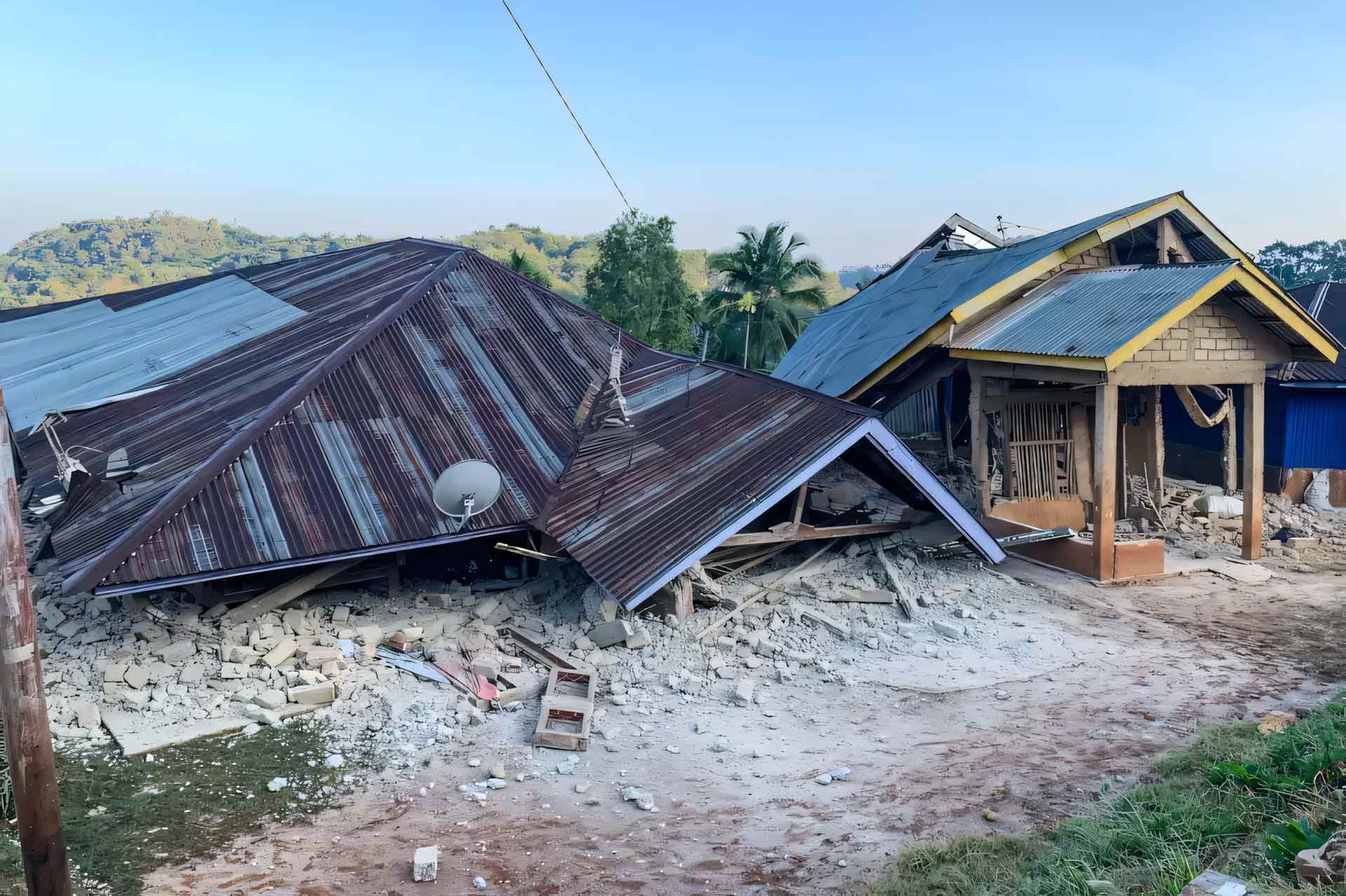
Indonesia, August 15, 2026 — A powerful magnitude 7.7 earthquake struck off Indonesia’s Flores Island early Saturday, killing at least five people, damaging buildings and prompting thousands of residents to evacuate to higher ground after authorities issued a tsunami warning.
The earthquake struck at 5:58 am. local time, according to the US Geological Survey, while Indonesia’s Meteorology, Climatology and Geophysics Agency (BMKG) recorded the quake at 4:58 am. Western Indonesia Time. BMKG placed the epicentre about 30 kilometres northeast of Mbay in Nagekeo Regency, at a depth of 15 kilometres.
The shallow earthquake was followed by numerous aftershocks, including a magnitude 6.1 tremor. Strong shaking was reported across parts of East Nusa Tenggara, including Flores, as well as in West Nusa Tenggara and parts of South Sulawesi.
Authorities initially issued a tsunami warning and urged people living along vulnerable coastlines to immediately move inland or to higher ground. In Nagekeo, residents fled toward elevated areas after the sea appeared to retreat, while evacuations were also reported in Maumere and other communities on Flores.
The warning was lifted roughly three hours after the earthquake after monitoring showed that no dangerous continuing rise in sea levels was occurring. BMKG recorded tsunami waves at several locations, including a maximum reported height of about 0.94 metres at Maurole in Ende. Other measurements included 0.36 metres at Labuan Bajo, 0.38 metres at Kewapante in Sikka and 0.25 metres in eastern Flores.